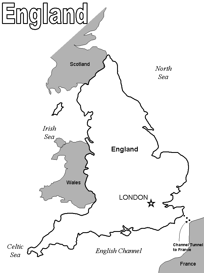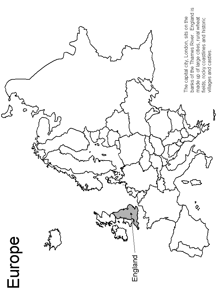
England Map Coloring Pages are a fun and educational way to explore the geography and history of England. These England Map Coloring Pages feature maps of England and its regions, along with interesting facts and information about its history and culture. Coloring the maps can help to develop fine motor skills and hand-eye coordination, while also teaching about the geography and culture of England.
Whether you’re a fan of geography or history, or simply enjoy coloring, England # Map Coloring Pages provide a unique and creative way to experience the world of England. These coloring pages are suitable for all ages and skill levels, making them a great activity for families, students, and individuals alike. So why not grab your colored pencils and embark on a journey through England today?
Fun Facts about England’s Map:
- England is located in the northern part of the island of Great Britain, along with Scotland and Wales.
- The country is bordered by Scotland to the north, Wales to the west, and the North Sea, Irish Sea, and English Channel to the east, south, and southwest.
- England is one of the most densely populated countries in Europe, with a population of over 53 million people.
- The country is known for its rolling hills, picturesque countryside, and historic cities, including London, the capital of England, and the United Kingdom.
If you need more England coloring pages, take a look and find any of your favorites.

